A4 / Mapping & Modeling
Drone Mapping, Orthomosaics & 3D Models for Survey & Construction
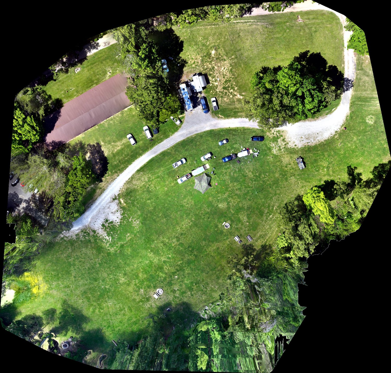
A single, geometrically corrected, measurable map of your site — stitched from hundreds of images, so you can measure distance and area directly on it.
A4 / Mapping & Modeling
A single, geometrically corrected, measurable map of your site — stitched from hundreds of images, so you can measure distance and area directly on it.
Where the site warrants it, we produce all three from the same flight and deliver them through your project portal.