False-color NDRE vegetation-index map from a UUAS multispectral research flight, background

R / Research

Aerial data collection built for research.

Part 107 pilots and calibrated sensors for scientific fieldwork — captured to a documented, repeatable methodology, with metadata your study can stand on.

SENSORS MULTISPECTRAL / THERMAL / RGB METHOD REPEATABLE STANDARD SMS-GOVERNED

01 / What we provide

Flying and data, so your team does the science

R1

Calibrated sensors

Multispectral (NDVI, NDRE, GNDVI, EVI, SAVI), thermal/infrared, and RGB — radiometrically handled so values are comparable flight to flight, not just pretty pictures.

R2

Repeatable flight plans

Fixed altitude, overlap, and ground-sample-distance, flown the same way every visit. Change over time is signal, not an artifact of how it was flown.

R3

Documented deliverables

Orthomosaics, index rasters, point clouds, and 3D models — delivered with capture metadata (date, sensor, GSD, conditions) so your methods section writes itself.

02 / Who we work with

W1

Universities & grad research

Thesis and grant fieldwork in agronomy, ecology, forestry, hydrology, and remote sensing — without your lab buying and maintaining a UAS program.

W2

Agencies & land managers

Monitoring programs, habitat and vegetation assessments, and repeat-survey change detection with documentation that holds up to review.

W3

Ag & environmental consultancies

Trial plots, treatment comparisons, and site assessments where the data has to be defensible to a client or a regulator.

03 / Why UUAS

Run by a safety researcher, not a hobbyist

UUAS is operated by a graduate aviation-safety researcher (MS Aviation, Safety & Security Management — MTSU) who treats data collection like a protocol: planned, hazard-assessed, flown, and reviewed under a formal Safety Management System. That’s the difference between a clip and a dataset.

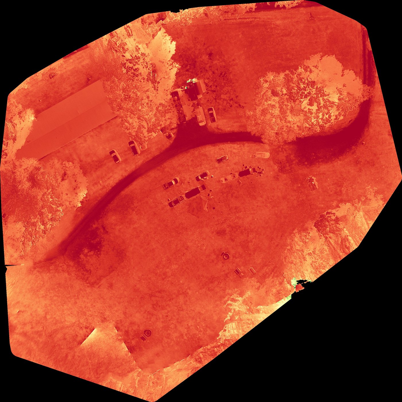
How it works: tell us the study design and the variable you’re measuring — we translate it into a flight plan and data spec, capture it, and hand back clean, documented deliverables (and repeat visits on the same spec if your study needs a time series).

04 / Sensors & outputs

What we can measure

  • Vegetation indices — NDVI, NDRE, GNDVI, EVI, SAVI for vigor, stress, and canopy studies
  • Thermal / infrared — surface-temperature patterns for water, stress, and structure studies
  • Photogrammetry — orthomosaics, digital surface models, point clouds, and volumetrics
  • Repeat-flight change detection — the same site on the same spec, across a season or a project

New to the indices? Start with our guide to what NDVI actually tells you, then bring us your study design.

Have a study that needs aerial data?

Propose a study